What We Do
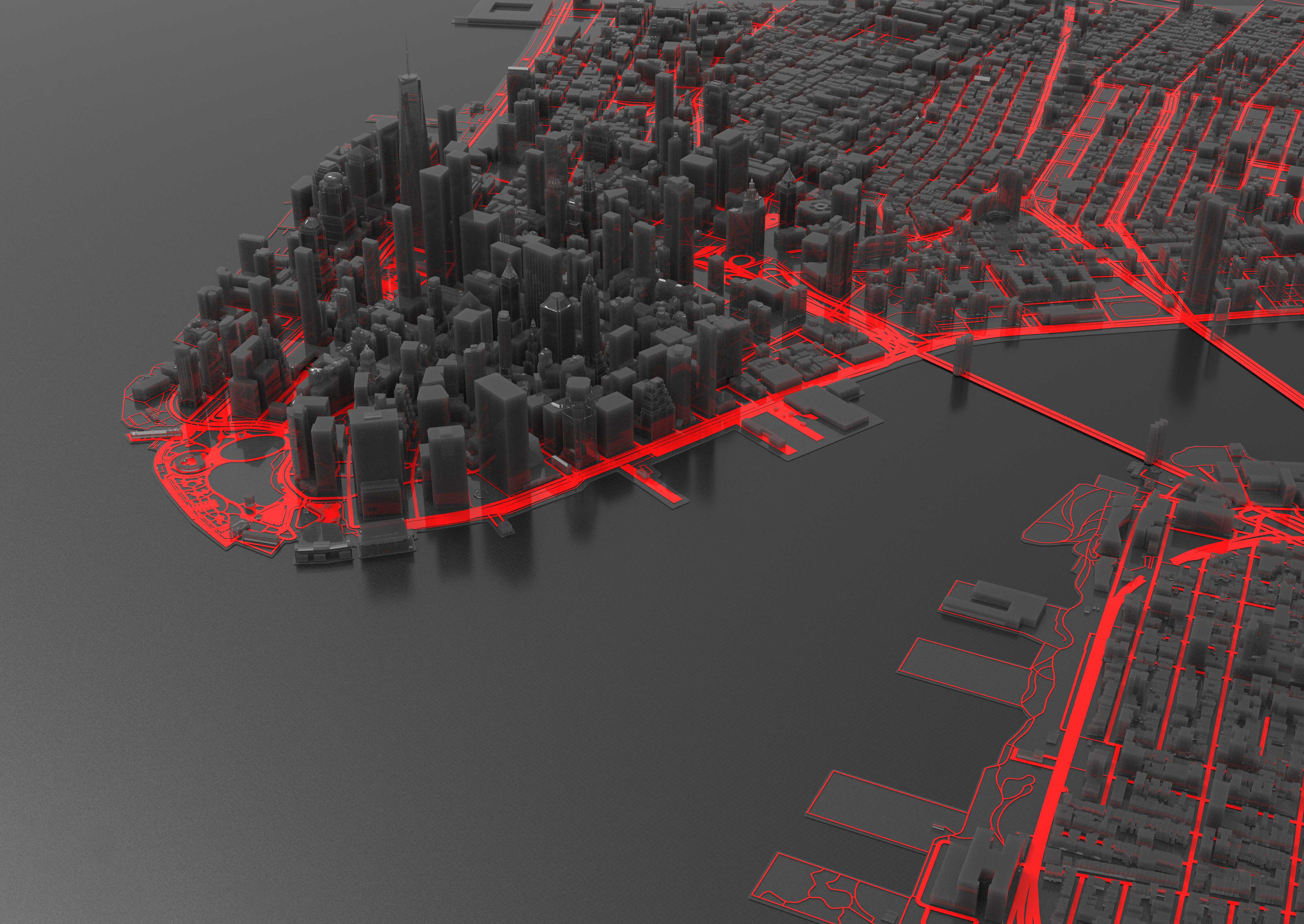
Spatial information is essential throughout the petroleum lifecycle, from initial analysis and exploration to production, transportation, and abandonment. Over 80% of data in upstream E&P has a spatial component, accessible through maps.
Our capabilities encompass geospatial services for hydrocarbon exploration and production, employing diverse methods and technologies to collect, manage, and analyze spatial data, supporting Oil and Gas operations.
Effective data management, retrieval, and decision-making are facilitated through Geographic Information Systems (GIS), which streamline data creation, collection, acquisition, management, processing, interpretation, and mapping.
Our services include but are not limited to:
Geospatial Data Management
We provide a comprehensive suite of geospatial services designed to empower our clients in the efficient development and management of Geographic Information Systems (GIS) and associated needs. With a wealth of expertise accumulated over years in mapping, GIS consulting, and geospatial information technology (IT), we deliver tailored solutions to meet your unique requirements.
Project Management And Logistics
We are the premier choice for oil sector logistics and project management consulting in Nigeria. Our expertise extends to precise data acquisition, planning, and impeccable project delivery.
Specializing in Geosolutions, seismic analysis, bathymetric surveys, hydrographic studies, and oilfield vessel handling across West Africa, Nigeria, and neighboring regions. Our adept project management team excels in turning client visions into reality, from project initiation and planning to design, construction, monitoring, control, and timely completion.
Seabed Surveys
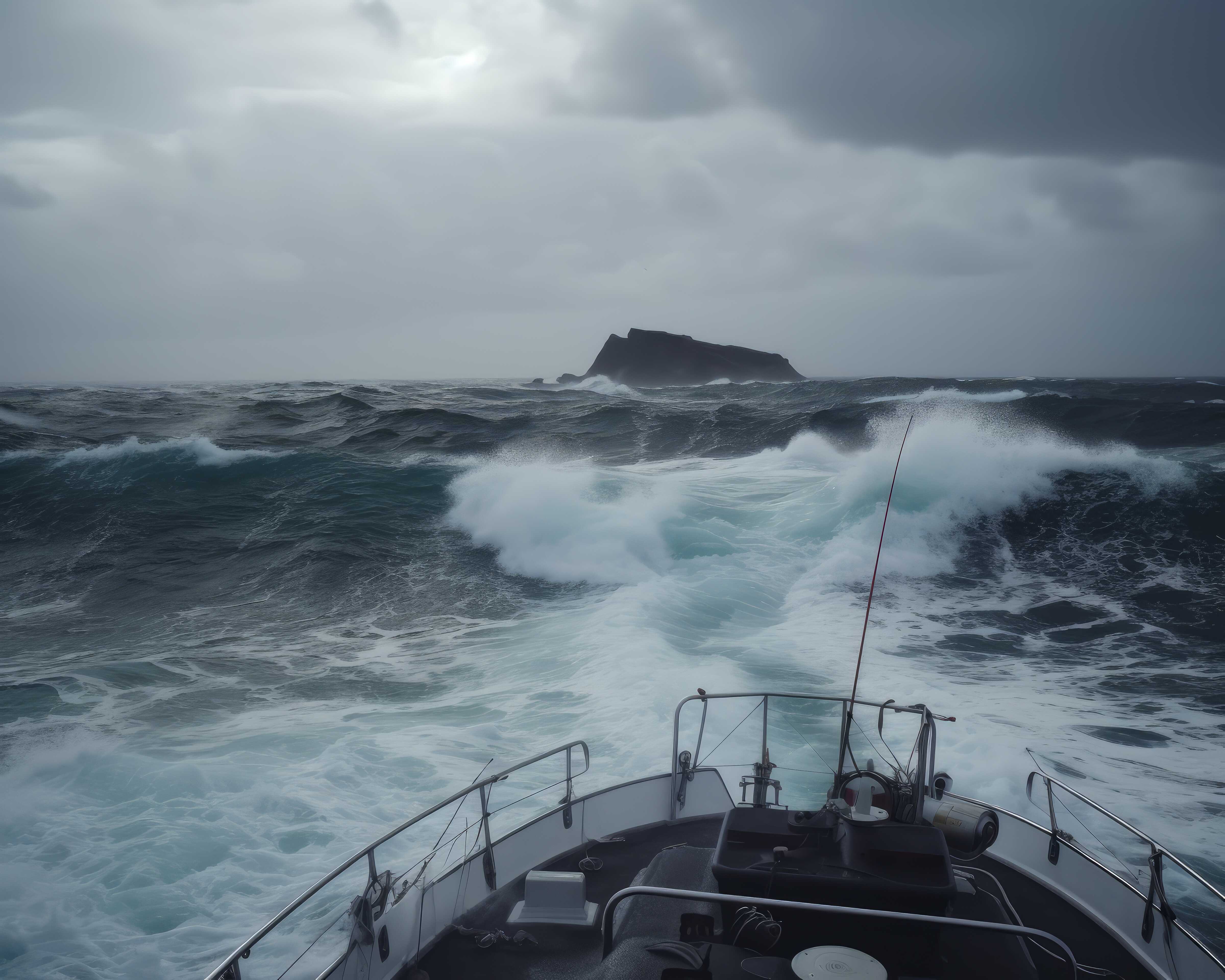
At Starfix Geosolutions services limited, we specialize in seabed surveying, a crucial process for exploring and understanding the underwater world. Our expert teams use advanced technology and equipment to map and analyze the contours, depths, and features of the ocean floor, riverbeds, and other aquatic environments.
Our seabed surveys serve various industries, from maritime navigation to environmental conservation. We provide accurate data that enhances safety at sea, aids in resource management, and supports scientific research.
Our commitment to precision and innovation ensures that our clients receive the most reliable and up-to-date information for informed decision-making. Whether it's charting safe routes, identifying marine resources, or safeguarding fragile ecosystems
Geotechinal Surveys
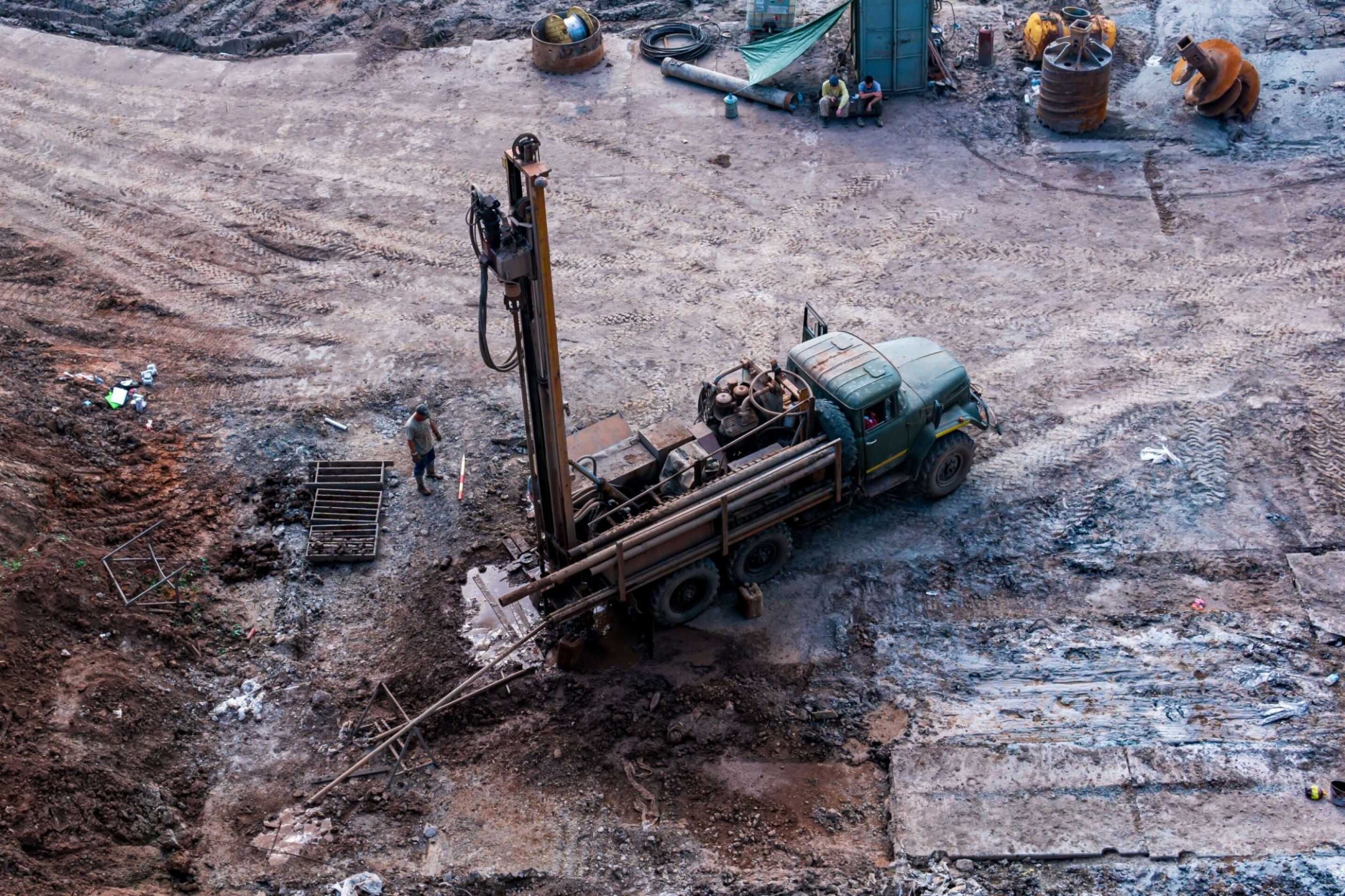
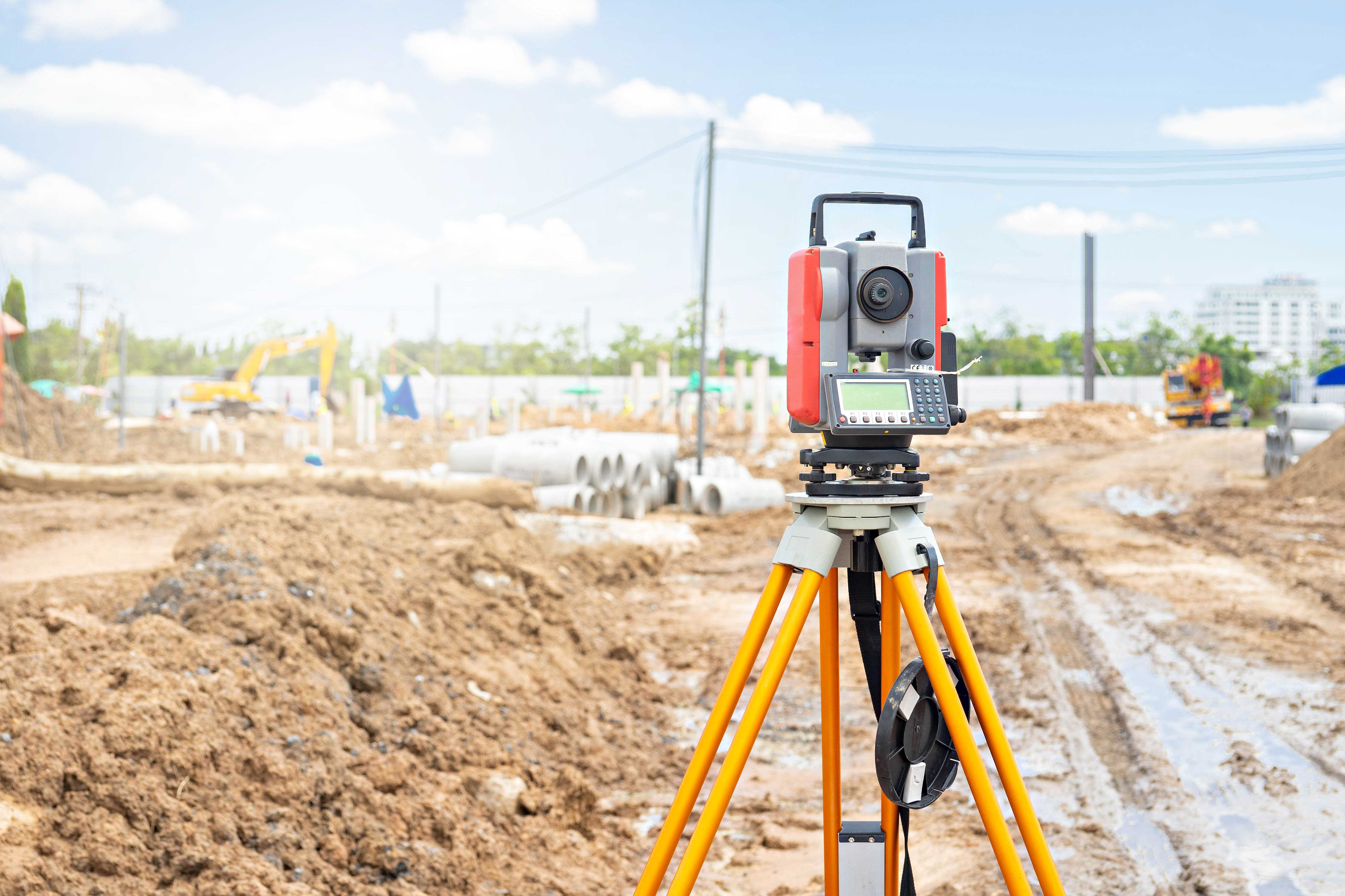
Our dedicated teams employ state-of-the-art techniques to assess soil and rock properties, foundation stability, and potential geological hazards.
Our geotechnical surveys are invaluable for engineering projects, ensuring safety, stability, and sustainability. We provide actionable insights that guide foundation design, excavation, and construction decisions.
With a commitment to precision and quality, Starfix Geosolutions service limited delivers comprehensive geotechnical survey solutions tailored to your project's unique needs. Trust us to provide the geotechnical data that empowers your construction success.
Seismic Surveys
A vital exploration technique used to uncover subsurface information for energy and geological projects. Our dedicated teams utilize modern technology to generate detailed images of the Earth's subsurface layers, revealing valuable data about geological formations and hydrocarbon reservoirs
Our seismic surveys help energy companies, researchers, and environmental experts with critical insights for resource exploration, reservoir characterization, and environmental assessments
With a commitment to accuracy and innovation, Starfix Geosolutions services limited delivers comprehensive seismic survey solutions tailored to your project's unique requirements
Metocean Data Services
In the world of offshore operations, the sea's unpredictability creates risks that Metocean Data Services mitigate. These services decode ocean behavior, enabling precision in offshore activities, from energy to transport, minimizing delays and enhancing safety. Starfix leads this Metocean revolution, using advanced tech for data collection. Whether planning offshore projects or ensuring maritime safety, Metocean Data Services are indispensable, transforming ocean challenges into opportunities for a safer, smarter future.
Environmental Surveys
We specialize in conducting environmental monitoring surveys and resource mapping services, customizing our offerings to align with local regulations and client-specific needs. Our services encompass crucial tasks, including environmental sensitivity index mapping
For businesses engaged in exploration projects like oil and gas, there's a dual responsibility, both socially and legally, to safeguard the environment and its surrounding ecosystems. Harnessing the power of Geographic Information Systems (GIS), we play a vital role in managing and mitigating the environmental impact of industrial activities on these ecosystems.
Vessel Management
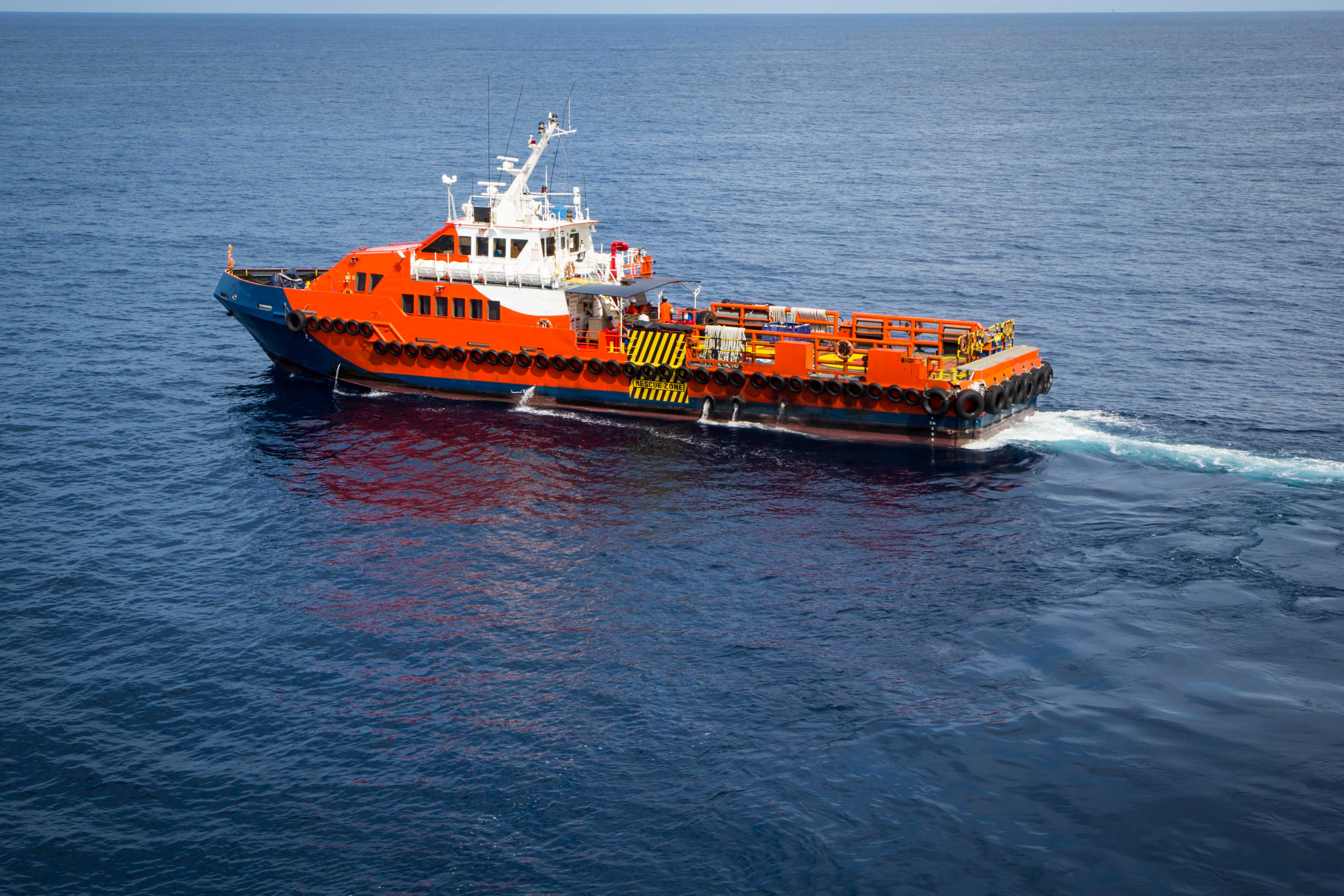
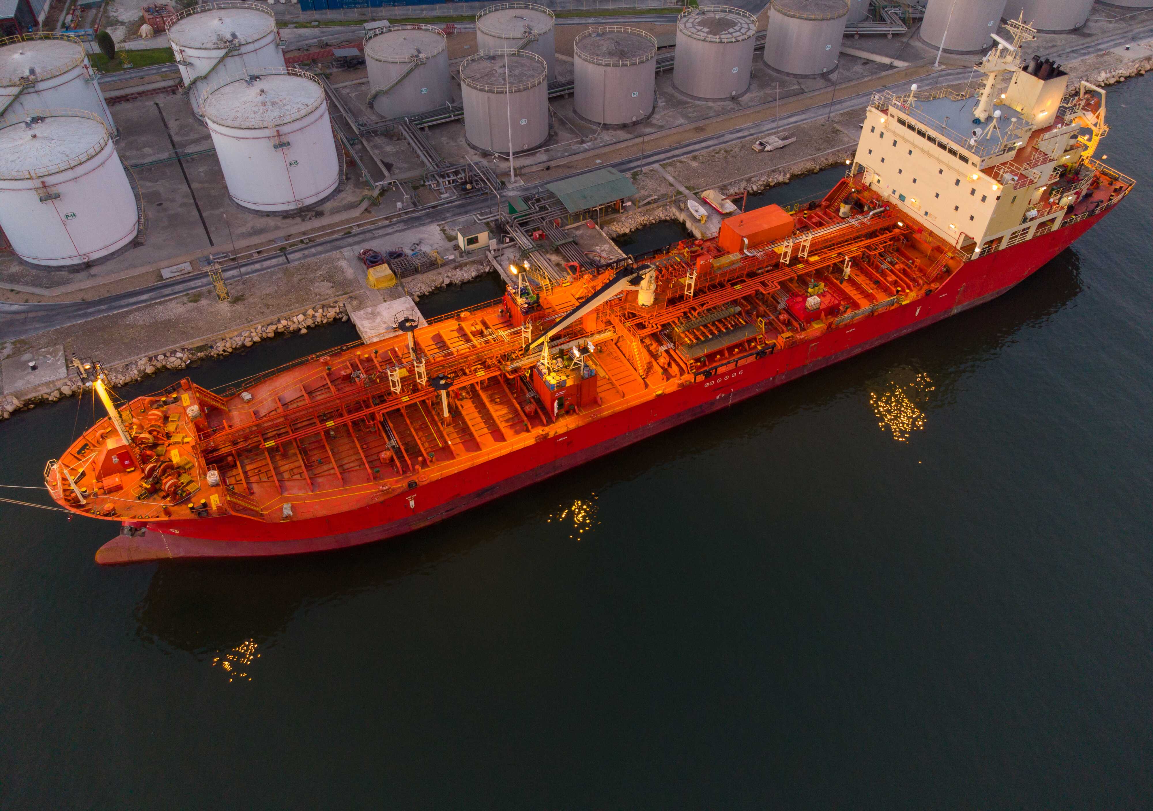
We excel in executing challenging offshore engineering projects, employing advanced cost management, logistics control, and experienced personnel to maximize value and minimize risk. Our robust risk management systems ensure the safety of ship owners, crew, and the public
Leveraging cutting-edge technology and a skilled management team, we offer comprehensive support to clients, crews, and ship owners throughout vessel occupancy or charter.
Our ship management services encompass key offerings such as Temporary Importation Permits (TIP), Temporary Work Permits, AGO and water supply, crewing, security vessels, and general port services.
We have the capabilities to use Geomatics and Geoscience to gather, analyze and interpret geospatial information throughout the Oil & Gas Lifecycle. We manage all geological, geophysical, geotechnical, and environmental requirements throughout the lifespan of a project from exploration, through appraisal, development, production, decommissioning to abandonment.
We also offer Consultancy and Quality Control/Quality Assurance (QC/QA) Services in any aspect of the Surveys mentioned above including 2D and 3D Seismic (Geophysical) Surveys.
Our Geosolutions provide tailor-made solutions for your projects, drawing on the best skillsets and techniques from our considerable resources.
Our Collective Experience
Starfix Geosolutions Services Limited, recently formed as a Nigerian Company by foreign and indigenous members, has its partners bring together a wealth of experience from services provided for many years. It presently has over twelve (12) professionals, highly qualified and competent, who are experienced through a variety of projects.
Principals and technical staff members alike provide the finest in personalized attention. With well over one hundred (100) years of combined experience, our partners are well equipped in the following:
- Varied experience in geophysical exploration and surveying acquired in Nigeria, North Africa, North Sea, Far East and USA.
- Specializing in computer modeling and environmental restoration of civil and water engineering infrastructure, development of global visioning and achievable objectives for clients, Information Technology, database management and new innovations in data storage and security systems.
- Work experience in the design of sub and super structures for various applications including platforms, pipe racks, storage bins, trusses, rail scale commercial high-rise multi-functional buildings and other industrial facilities and heavy equipment supports.
- Project Management Professionals (PMP), renowned Administrators and seasoned Social Scientists who are locally and internationally recognized.
- Wealth of experience in project, operations, and maintenance management to define company targets, goals and dictate the pace for company growth and development
Equipment Brochure
At Starfix Geosolutions Services Limited, we understand the critical role equipment plays in the success of projects. Our commitment to excellence extends beyond our core operations; we also offer a wide range of top-quality equipment available for hire or rent.
Whether you're planning an offshore project, onsite operation, or simply looking to optimize your resource management, we've got you covered. Explore our extensive selection of equipment and experience unmatched reliability, efficiency, and support.
Our Clients
We have consistently provided high-quality services to our clients, most of whom are IOCs such as Shell, Marginal Field Operators including but not limited to Aiteo group, Sahara Energy, Lekoil Nig Ltd, First E&P, among others


